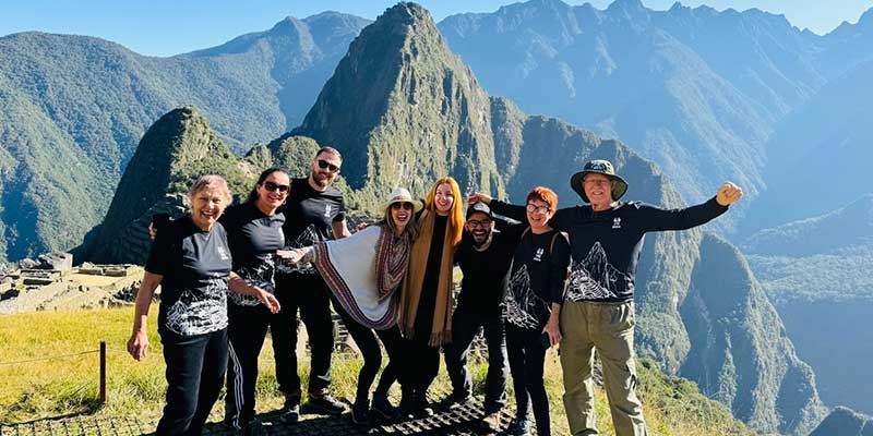
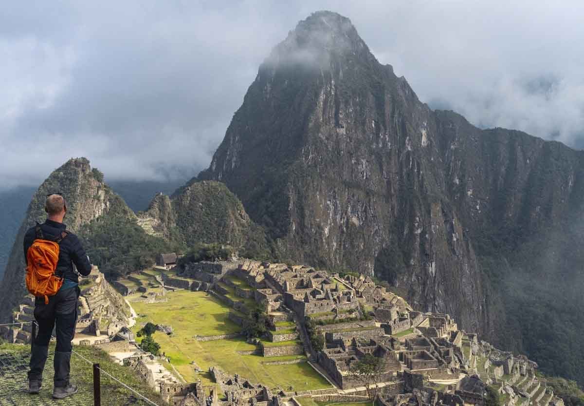
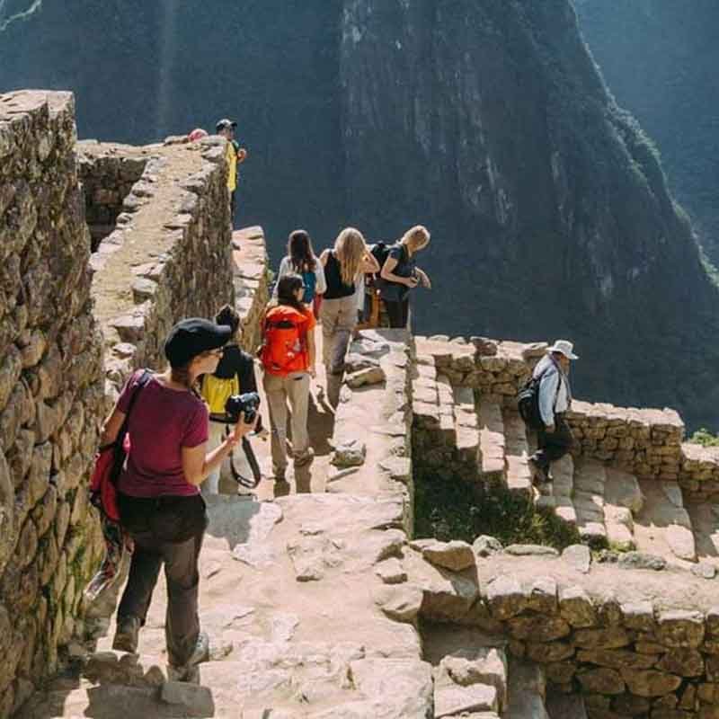
“Various tours – city tour, Machu Picchu, Pisac, llama farm, San Blas”
We had great tours with them! Rosa Guide very good and with a lot of information!
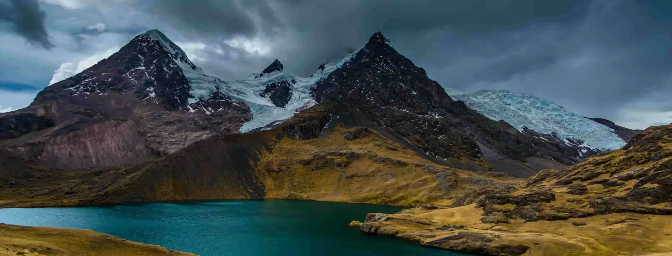
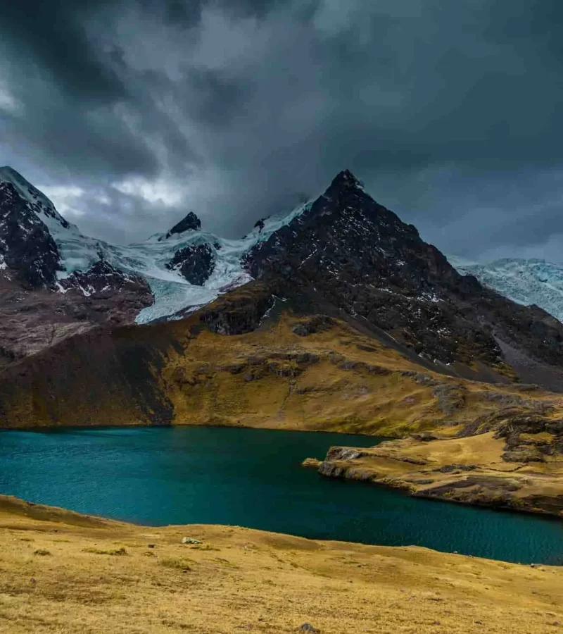
The circuit divides into seven stages, each offering unique terrain. Stage one climbs to Abra Surihuiri (5,000 m), stage two crosses Palomani Pass. Daily breaks align with water sources and photo ops at glacial lakes. Camps set up on flat ground, often near pastureland. You handle a 20–25 kg shared load while your personal pack holds just essentials. Altitude sickness can appear on day two—slow, steady steps win over fast starts. Hydration demands double you normal intake. In general, clear skies prevail but be ready for hail.
Thoughtfully timed departures and exclusive routing to experience major landmarks in peaceful serenity.
Passionate English-speaking Peruvian natives certified in wilderness first aid and Quechua heritage.
Tailored itineraries customized to your dates, fitness level, preferred pace, and comfort style.
At Yacana Peru, we are a 100% local tour operator dedicated to responsible and sustainable tourism, offering unique trekking and cultural experiences across the Andes, Altiplano, and Amazon. Read real traveler feedback from our guests.
What is the typical duration of the Ausangate circuit?
Approximately five to seven days, depending on acclimatization and pace.
At what altitude does the trek start?
The trailhead at Tinqui sits around 4,150 m / 13,615 ft.
What is the highest pass on the route?
Jampa Pass, at roughly 5,200 m / 17,060 ft.
How difficult is the trek in terms of fitness?
It rates as strenuous due to high altitude and daily elevation gains.
Do I need prior high-altitude experience?
Recommended but not mandatory; guided groups help mitigate risk.
Are permits required?
No formal permit, but local community fees apply.
What gear is essential?
Warm layers, waterproof shell, sturdy boots, sleeping bag rated to –10 °C.
Is camping gear provided?
Yes—tents, sleeping pads and communal cooking equipment.
How is water treated on trail?
ilters or purification tablets remove bacteria and protozoa.
Can I hire muleteers to carry gear?
Yes, for up to 20–25 kg per mule.
What meals are served?
Quinoa soup, rice, pasta, local potatoes and snacks like dried fruit.
Are vegetarian or vegan options available?
Yes—request in advance for menu adjustments.
What is the weather like?
Clear mornings, possible hail or snow in afternoons; nights drop below 0 °C.
When is the best season to trek?
May to September, when skies are driest.
How many kilometers per day?
Between 10 and 18 km, depending on stage.
Is there cell service?
No consistent signal; guides carry satellite phones.
What wildlife might I see?
Vicuñas, Andean fox, mountain vizcachas and occasional condors.
How do I prevent altitude sickness?
“Climb high, sleep low,” stay hydrated, move slowly.
Can I rent gear in Cusco?
Yes—many shops rent boots, poles and jackets.
Is it safe to trek solo?
Not advised—guided service improves safety and logistics.
How far is Cusco from Tinqui?
Approximately 100 km by road, about 3–4 hours.
Do I need travel insurance?
Strongly recommended, including high-altitude evacuation coverage.
Are there toilets on trail?
Portable latrines at camps; carry toilet paper and hand sanitizer.
Can I pay community fees on site?
Yes, cash payments in soles to local authorities.
What altitude training helps?
Hiking hills at home, stair-climbing with weight, sleeping at altitude tents.
Are hot springs part of the route?
Some guides include a side trip to Singrenacocha springs.
How large are trekking groups?
Usually 4–12 clients per guide, depending on agency.
Can I charge batteries?
Solar chargers work; few camps offer generator power at extra cost.
Is photography allowed everywhere?
Yes—respect local customs at shrines, ask before photographing people.
What emergency support exists?
Satellite phone, radio link to Tinqui and helicopter rescue from Cusco if needed.

This planner covers every detail for your Ausangate adventure: route maps, daily stage analysis, gear checklists, acclimatization tips, community fees breakdown and emergency protocols. You’ll find mileage charts, elevation profiles and local contact info. Designed for both first-timers and seasoned trekkers, the guide ensures you arrive fully prepared
Explore our latest articles filled with packing guides, cultural history, and photography tips.
Our service stands out through rigorous planning and genuine community partnership. We hire local muleteers and porters under fair-wage agreements, ensuring economic benefits reach indigenous families. Guides undergo annual first-aid and altitude-medicine training, and carry pulse oximeters for real-time monitoring. Equipment is maintained to expedition standards—tents tested at –20 °C, fuel stoves with multiple redundancy. We liaise with Tinqui’s community council to prepay fees, smoothing entry and exit. Daily briefings cover terrain, cultural context and safety updates. Client feedback average scores exceed 4.8 / 5 across platforms. When weather forces route changes, we adjust camp logistics within hours. Transparent pricing means no hidden costs. In every detail—from menu selection to emergency evacuation plans—we meet technical benchmarks and honor Andean hospitality. Our promise: a trek as safe as it is authentic.
Remember why you picked Ausangate: to test limits above 5,000 m. Every hill feels steeper, sunrise more poignant. When thighs scream on day three, recall the moment you first booked this trip. Hold that spark. Soon, glacial lakes will reflect your accomplishment. Keep moving. On the other side of pain lies a vista that only few ever see. You’ve earned it.
Design your travel plan from scratch, customize any published itinerary, or combine multiple destinations. Share your preferences below and our local team will respond within 24 hours.